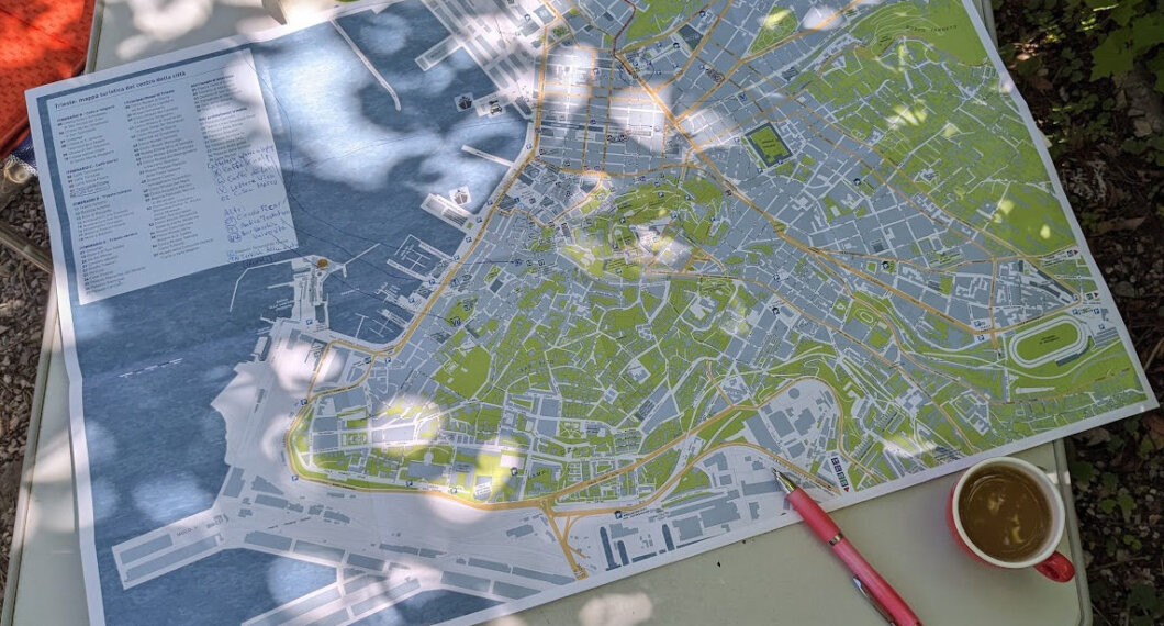
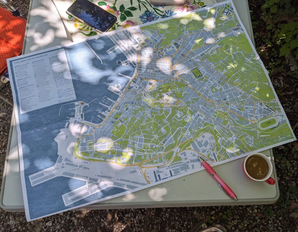
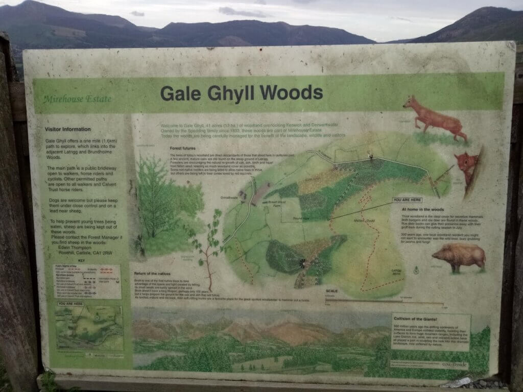
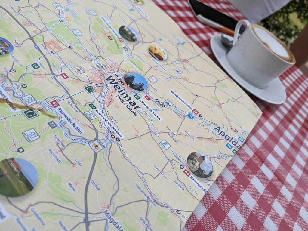
Of course, electronic maps have specific advantages, especially with GPS positioning and route planning that consider current traffic conditions. Nevertheless, I can only marvel at how much these helpful devices can err and lead people astray, especially cyclists in major German cities. However, even on freeways and highways, the strengths of Google Maps and other navigation apps, they often suggest routes experienced travelers advise against for plausible reasons. Navigation systems can’t consider preferences that can be quickly clarified in conversation. Avoid long tunnels, but only if the roads to the mountain pass are not too steep or have too narrow hairpin bends? Avoid congested bottlenecks, even if there is currently no traffic jam? Deliberately take detours because a country road or a stopover worth seeing is particularly lovely? Even in times of artificial intelligence, other people can still answer these questions best!
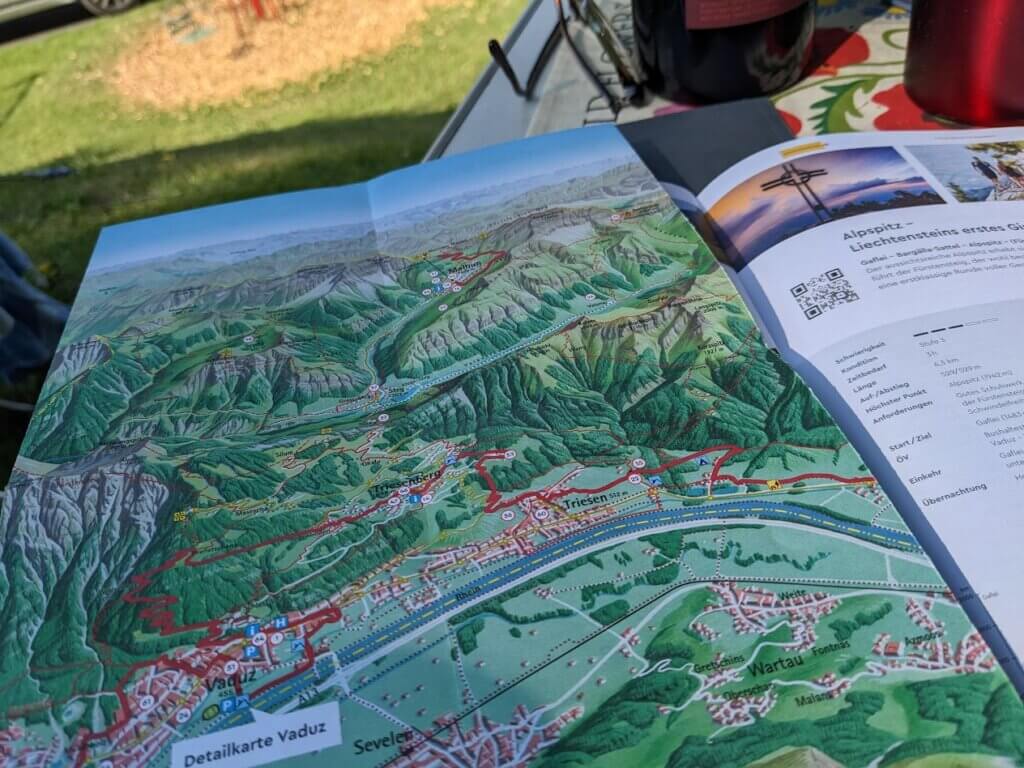
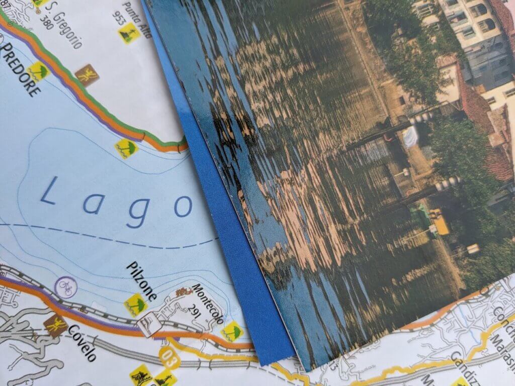
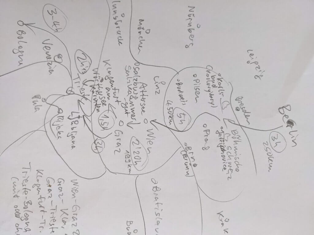
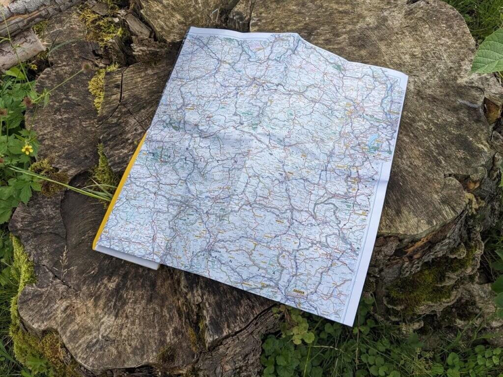
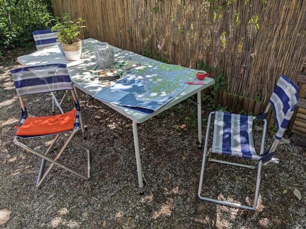
In this blog post, I will simply show some beautiful pictures of maps, city plans, books, and sketches I have used for travel planning over the last few years. Most photos and maps are current in 2024 and available for sale or free. The sketches, of course, are only available if they still exist and someone wants them. But maybe my drawings will inspire you to get creative yourself and draw your own lakes, roads, and calendars, which, despite all their surreal bizarreness, were very helpful in turning a long journey into relaxing stages with excellent stops and spending one or more nights in the right place at the right time.
